Portfolio
What does WORLDSOILS provide?
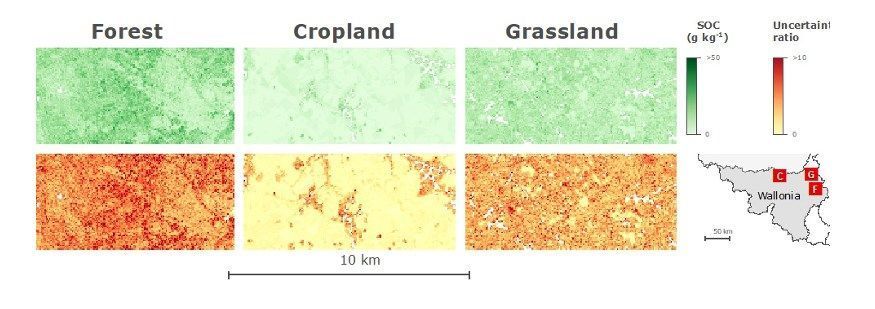
WORLDSOILS has developed a SOC prediction modular system based on regional soil models over various land covers (forest, cropland, grassland), capable of producing the following SOC maps, derived from EO and in situ measurements.
| EO Product | Pixel Resolution (meters) | Minimum Mapping Unit (MMU, ha) | Periodicity and EO data |
|---|---|---|---|
| European topsoil SOC content | 100 m | 1 ha | Annual Integrating 3-years of Sentinel-2 imagery: 2018-2020 2019-2021 2020-2022 |
| SOC pixel based uncertainty | |||
| Regional topsoil SOC content | 50 m | 0,25 ha | |
| SOC pixel based uncertainty |
More details can be found in the following PDFs: